|
|
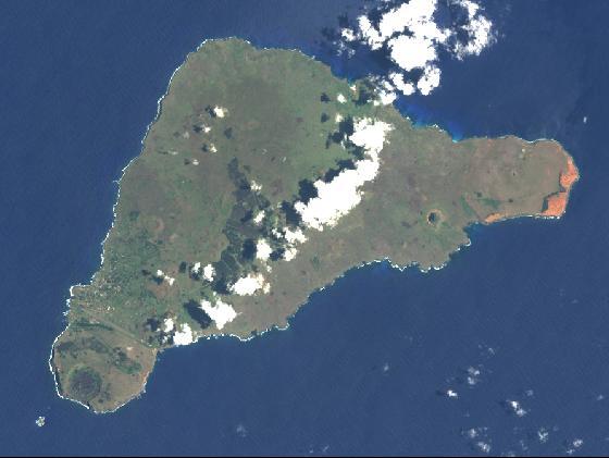
Easter Island is the easternmost corner of the large triangle
of
Pacific Islands known as Polynesia. The other corners are
made of
the Hawaiian Islands to the north, and New Zealand to the
west.
Easter Island is the most isolated inhabited place on Earth.
There is more water surrounding Easter Island than any other land
mass. Easter Island is 2,200 miles from the coast of Chile,
South
America and 1,400 miles from even tinier Pitcairn Island, the closest
populated land to Easter Island. Easter Island has a total
area
of only 64 square miles, about the same size as Washington,
DC.
Easter Island was formed when three underwater volcanoes erupted,
making the island somewhat triangular shaped. The peaks of
the
three volcanoes make up the three corners of the triangle.
Rano
(the Rapa Nui word for crater) Aroi, the tallest, most recent volcano,
having erupted about one million years ago, is located at the northern
corner of the island. Rano Kau is the site of the ceremonial
village, and makes the southwestern corner of the island.
Rano
Raraku, which contains the quarry where most of the Moai statues were
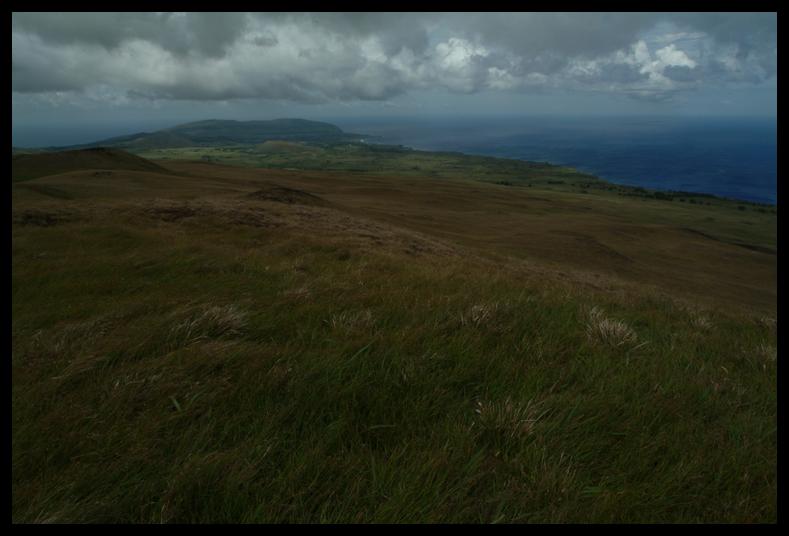
carved, is the secondary cone of the larger volcano Maunga Terevaka,
the southeastern corner of the island.
 <Easter
Island <Easter
Island 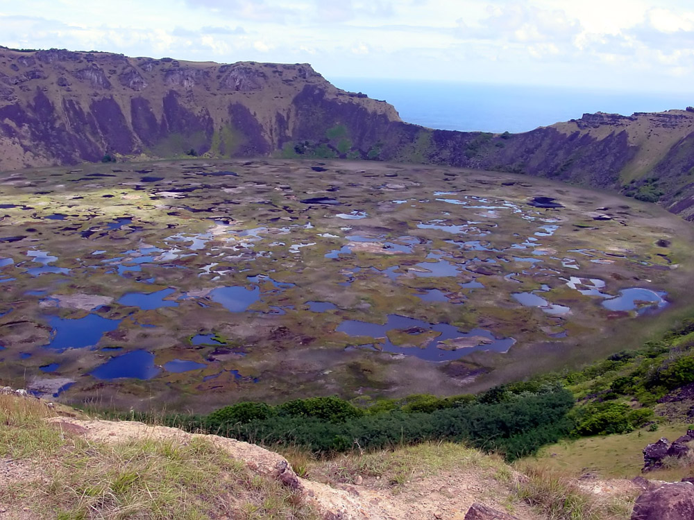 <Rano
Kau <Rano
Kau 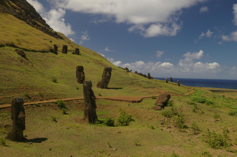 <Rano Raraku <Rano Raraku
 <Maunga Terevaka <Maunga Terevaka |